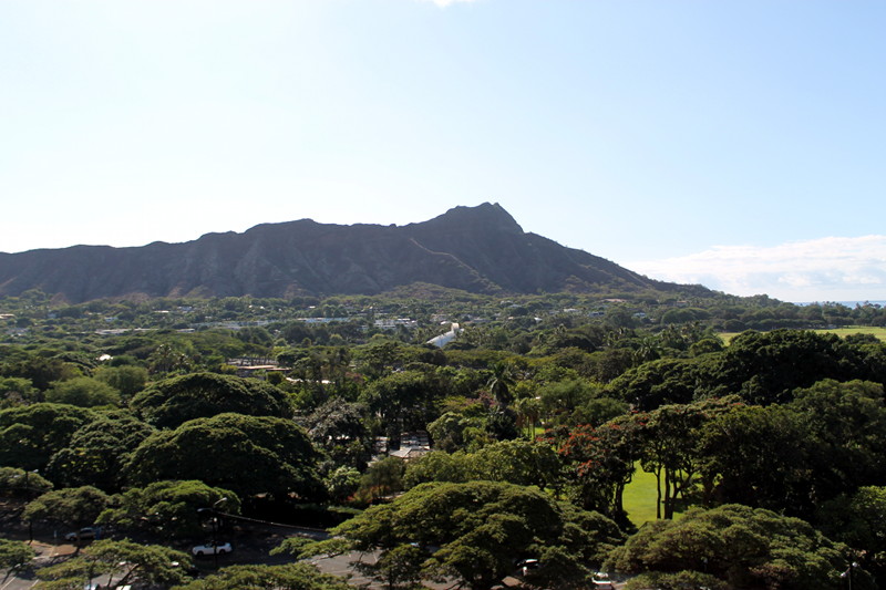
With plans to earn the Hawaii State geocaching souvenir on our family vacation to the the middle of the Pacific Ocean, we consulted Geocaching.com for a variety of cache types that allowed for sufficient educational opportunities on both O’ahu and The Big Island. As luck would have it,the Diamond Head Crater Earth Cache popped up within a short drive of our hotel in nearby Waikiki.
The most recognized geological landmark in Hawaii, the Diamond Head Crater is one of three tuff cones on O’ahu formed during volcanic eruptions of the Ko’olau Mountains that began about 300,000 years ago. The name for the type of rock formed from consolidated volcanic ash that is ejected during a volcanic eruption, tuff cones form around the center of the volcanic activity.
Where to Stay
Find family-friendly accommodations in Hawaii from traditional hotels to private vacation rentals through Stay22.com:
An ideal location for an Earth Cache—a special type of geocache administered by the Geological Society of America—we printed the entire thirteen page geocache description and formulated a plan of attack while on the airplane. Unique in their requirement to teach an Earth Science lesson and require geocachers to participate in an educational task specific to unique geological site, the Diamond Head Crater Earth Cache had us reading pamphlets and signs, noting the color and texture of the tuff rock as it changes up the trail, and measuring elevation differences using a GPS device.
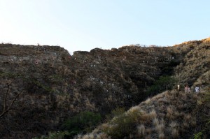
Open daily from 6:00AM to 6:00PM, admission to Diamond Head State Monument costs $5/vehicle or $1/person if you walk in through the main gate. A 1.6 mile round-trip climb takes you 560 feet above the crater floor and portions of the trail are unpaved and best navigated wearing sturdy shoes. Arriving at 6:30 AM, we found the parking lot filling with large group tour buses and other groups of zombie-eyed tourists also awake since 4AM. Carrying water, wearing hats, and packing snacks and digital gear in a backpack, we matched the park pamphlet map up with questions identified on the geocache description page.
Walking up the paved walkway (last call on indoor plumbing and bathrooms for the next 1.5 to 2 hours) we soon met up with the weaving and winding dirt trail. Note that the lookout point at Area 4 is a wonderful spot for a photo and water break. After this point, you face two stairways worthy of their own StairMaster workout. Between the stairways is a 225-foot long lighted tunnel. After the stairways is…more stairs. An alternate “easy” path after the tunnel and before the killer stairs is a paved walkway leading to more stairs. Eventually you will climb up—and out of— a building once serving as an active Fire Control Station when the crater housed five military batteries.
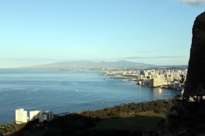
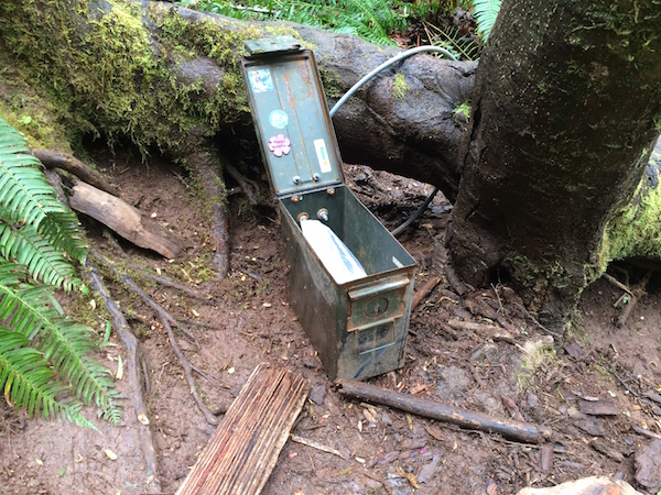
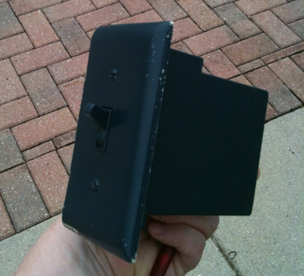
Worth the calorie burn, the view from both the Fire Control Station and the Observation Station is as breathtaking as it is rewarding. Look West and you will see the Honolulu skyline; East is the 350-acre crater in all its inactive magnificence. Catching our breath and finding a Traditional Geocache (spoiler alert if you look at the photos below) before the return trip, remember to make appropriate elevation measurements and geological observations before you go. But wait, there’s more!: A Virtual Geocache can also be logged before venturing out for more.

