Toting enough cables, batteries, and chargers to stock a Radio Shack, I returned to a different part of Florida with some girlfriends last week (the Beaches of Ft. Myers and Sanibel Island, to be exact). One of our many goals for the weekend to stay active and try something new. So we hooked up with Jory Pearson at Florida Paddlesports, a popular kayaking and water sports outfitter in the area.
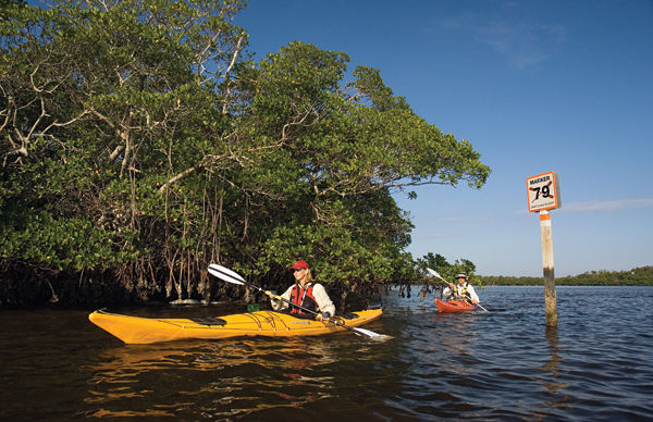
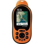
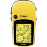
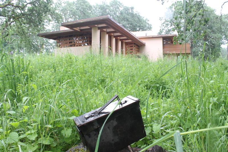
Embarking on a guided tour of the Great Calusa Blueway, a 190-mile paddling route of the 233 square miles of inland waters in Lee County, we tossed two GPS devices into a drybag—an Earthmate PN-40 by DeLorme and an eTrex Venture HC by Garmin—and set off. The trail itself is mapped by GPS using paddling markers to mark the course. To geocache by GPS, we uploaded several different coordinates only accessible by kayak. Testing the accuracy of the iPhone with the GPS devices, below is a video documentary of our adventure.
Navigating the kayak trail with an experienced guide, like Jory from Florida Paddlesports, was key to the overall success of the day. If venturing out on the water with your family, make sure to pack plenty of sunscreen, water, and snacks. Even in warm weather, wear a hat and loose (protective, quick drying) clothing. Make sure you check the weather and know the times of both low and high tide. In addition to wearing a life jacket, make sure you are carrying a safety whistle and share your intended route with someone not on the water with you.
Described as a GPS for serious outdoor adventures, the Earthmate PN-40 lived up to the promise. Requiring GPS topo maps for different regions of the country, I “discovered” you have to download one region and update another when you travel to different parts of the country (this lesson learned the hard way in California last month). Maps can only be installed on a PC, but I was able to download geocache coordinates from both my PC and Mac laptop. That said, navigating through the Earthmate PN-40 interface is straightforward from the get go. Geocaches are listed by default as the cache name over the GC code (something I, personally, appreciate). One of my geocaching friends hinted that the Earthmate PN-40 makes geocaching a bit too easy (on this competitive advantage, I would hands-down recommend this unit in the backwoods or a challenge event).
Despite the fact that the Owner’s Manual for the Garmin eTrex Venture HC does not mention geocaching in the index (brief instructions on page 14, FYI), a person can easily “press and hold” their way through the user interface (once you learn how to navigate through the screens, the eTrex Venture HC is quite straightforward, actually). Unlike the Earthmate PN-40, the eTrex Venture HC does not require the installing and uninstalling of regional maps. However, in order to geocache with the eTrex Venture HC, you do need a PC to upload and install the Trip & Waypoint Manager CD. Displaying geocaching codes in order of proximity (and, when found, moving them to a new menu), it’s easy to understand why I see so many Garmin GPS devices in the field.
Happy with the side-by-side field performance of both the Earthmate PN-40 and the eTrex Venture HC, check out the GPS devices in action. TFTC!
Navigating the kayak trail with an experienced guide, like Jory from Florida Paddlesports, was key to the overall success of the day. If venturing out on the water with your family, make sure to pack plenty of sunscreen, water, and snacks. Even in warm weather, wear a hat and loose (protective, quick drying) clothing. Make sure you check the weather and know the times of both low and high tide. In addition to wearing a life jacket, make sure you are carrying a safety whistle and share your intended route with someone not on the water with you.

